
Applications
Precision Across the Project
From the first site survey to final as-built documentation, Madix positioning technology supports critical construction and infrastructure workflows.
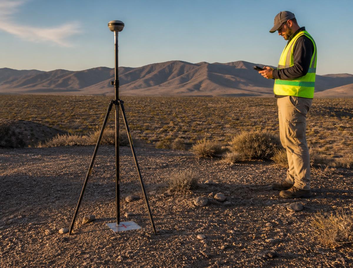
Construction Surveying
Professional GNSS positioning for site surveys, control and engineering measurement.
View application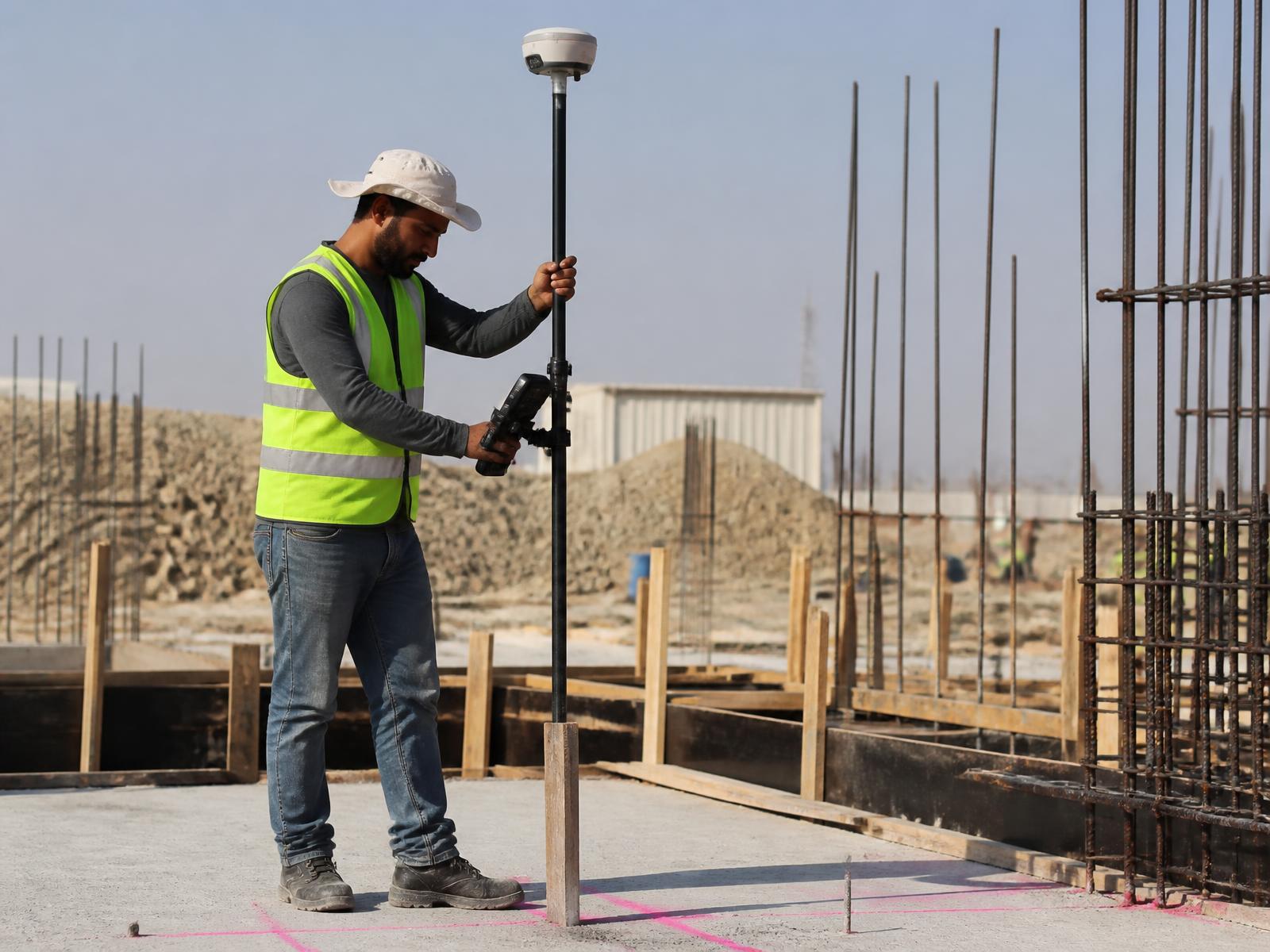
Setting Out
Transfer engineering designs from CAD into exact field positions.
View application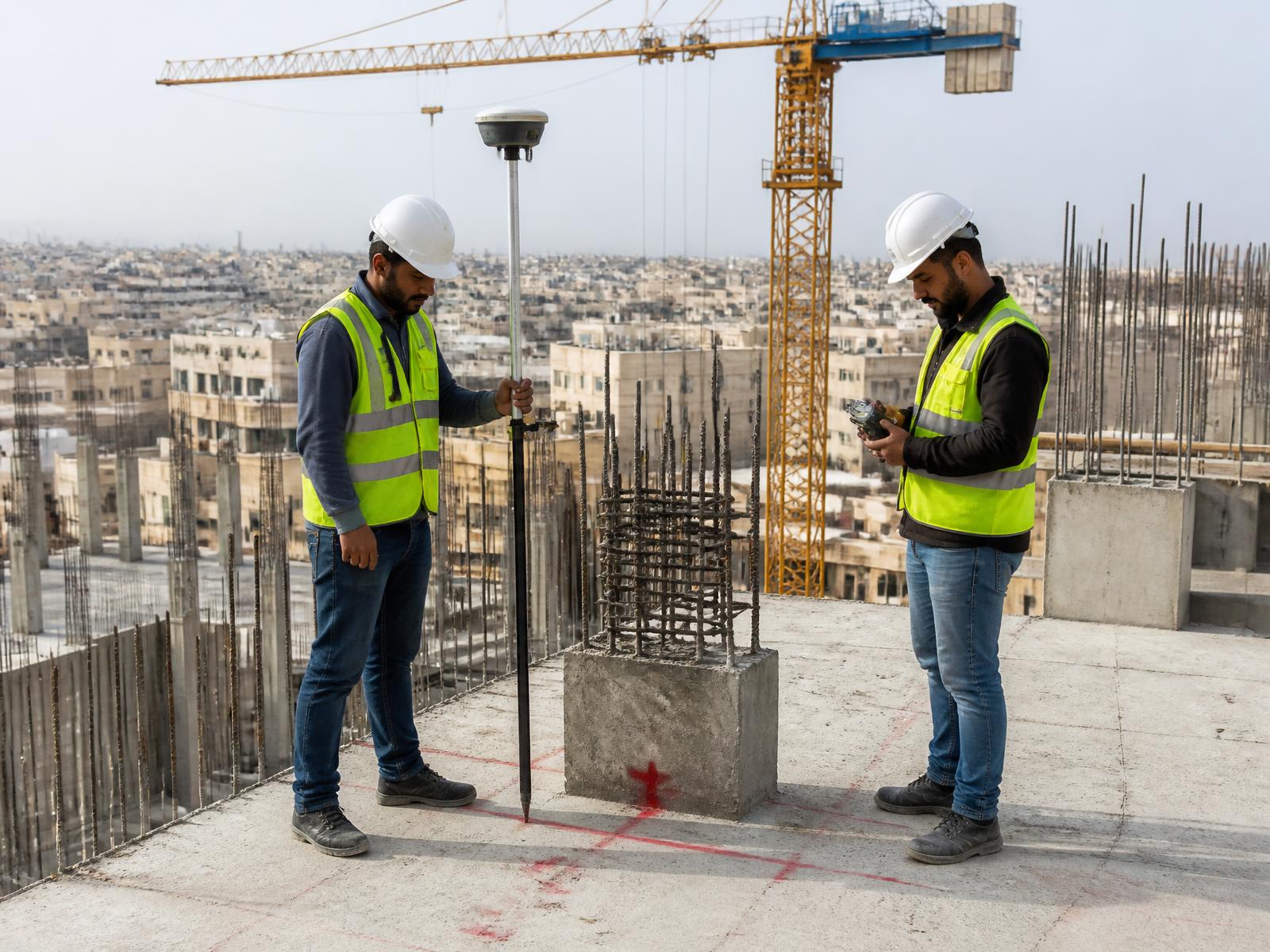
Building Construction
Positioning across the full building lifecycle, from site prep to final survey.
View application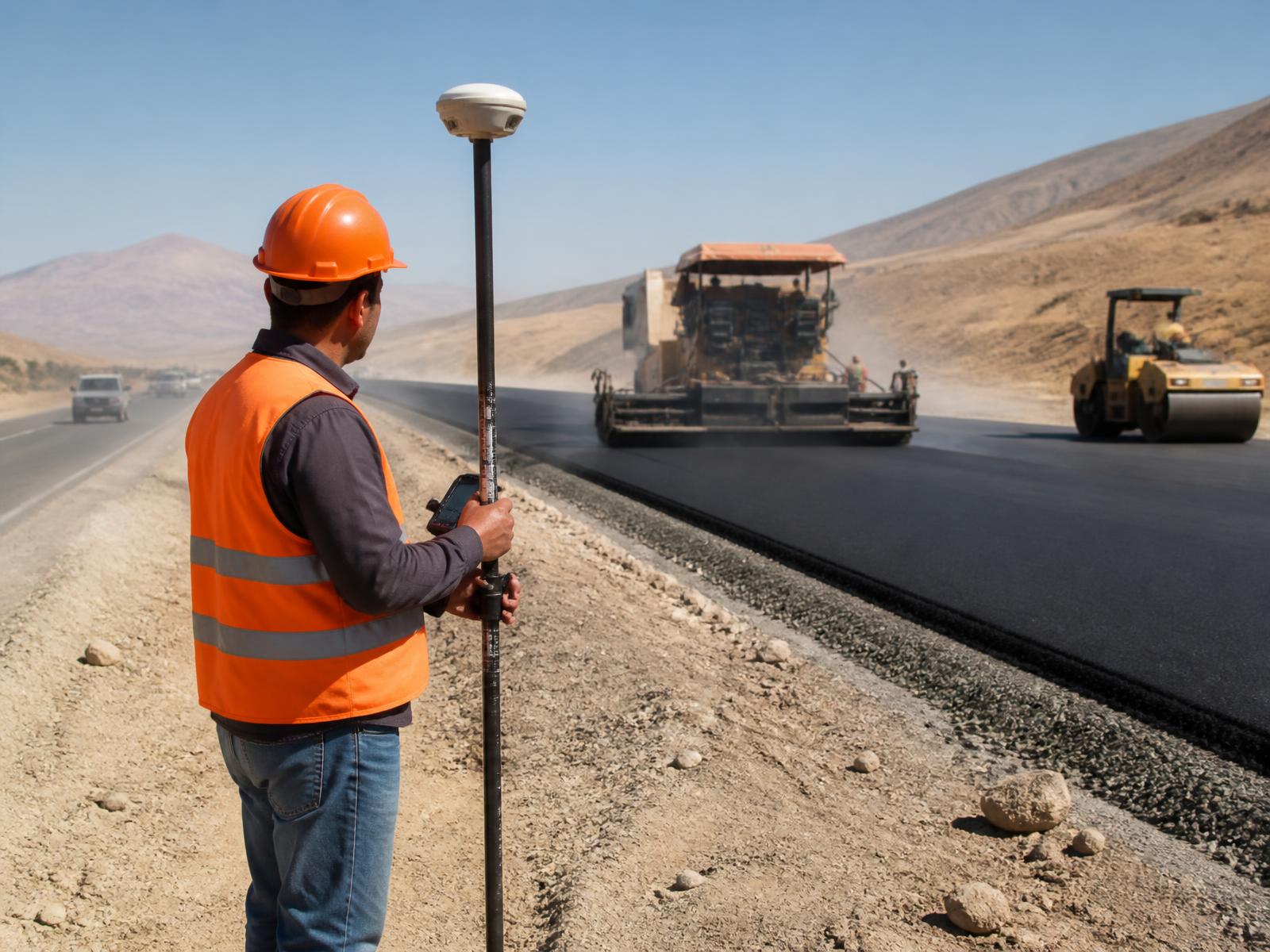
Roads & Highways
Alignment, levels, earthworks and verification along road corridors.
View application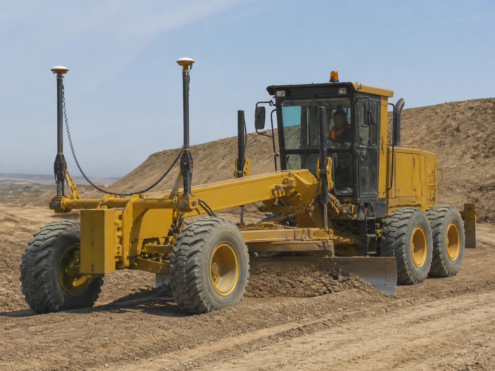
Earthworks & Grading
Excavation, cut and fill, grading and volume measurement.
View application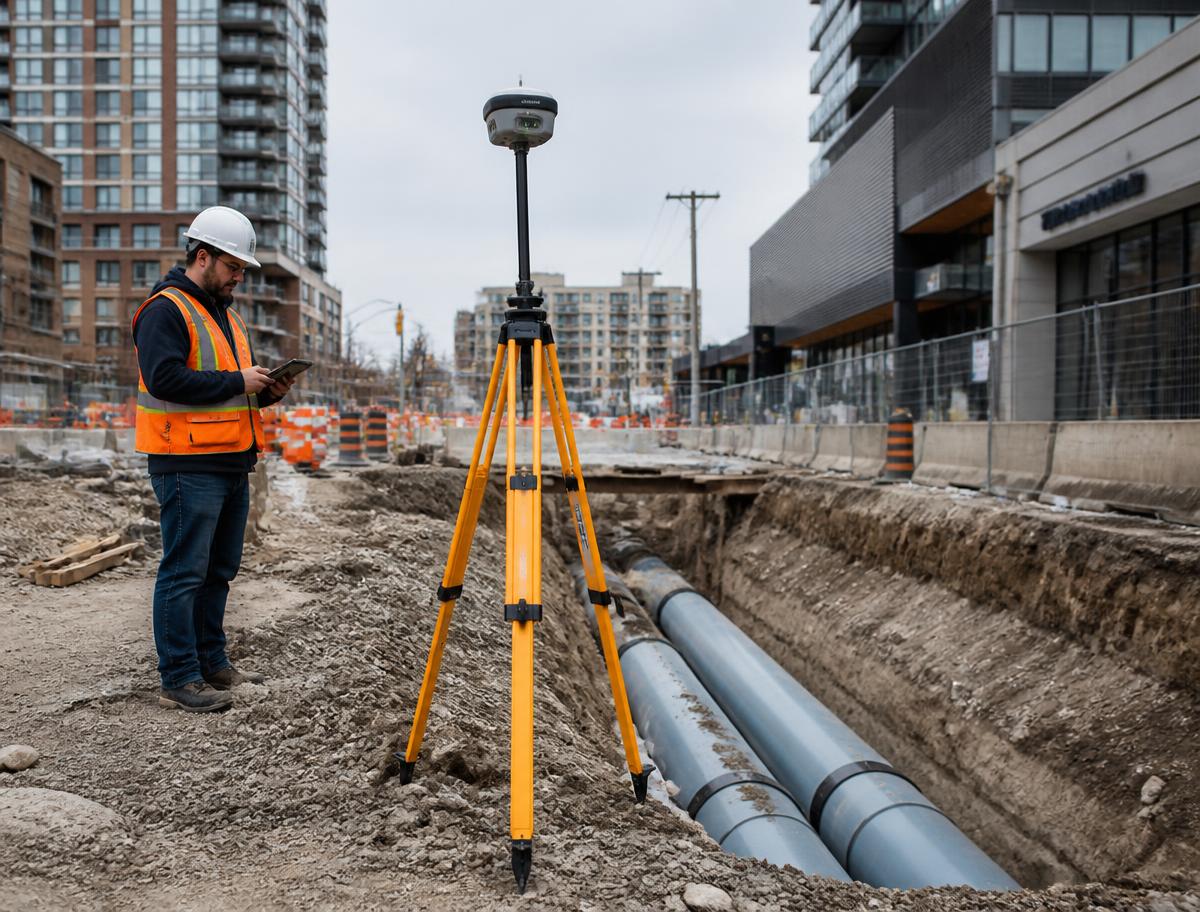
Utilities
Position. Install. Document.
View application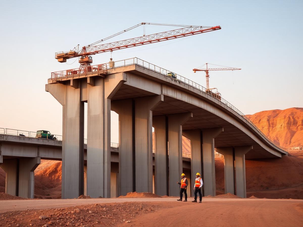
Civil Infrastructure
Bridges, transportation, industrial and public infrastructure works.
View application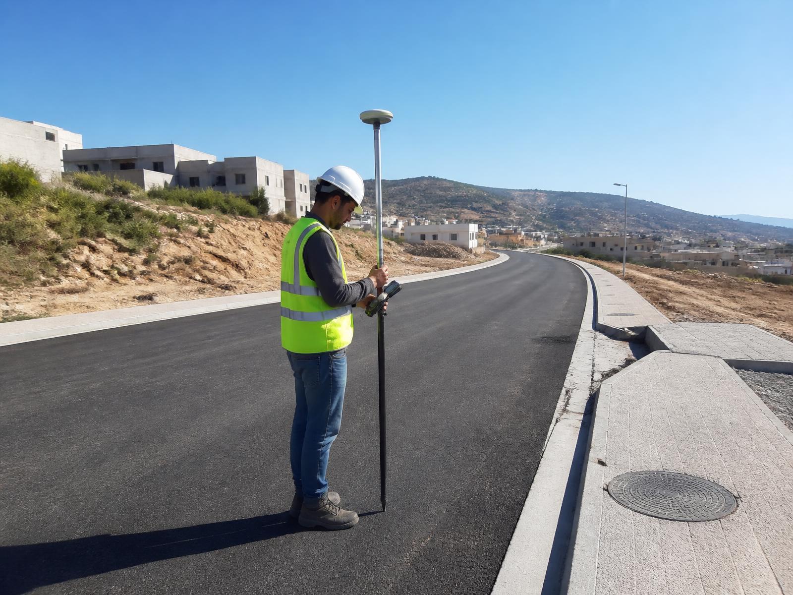
As-Built Surveying
Accurate documentation of what was actually constructed.
View application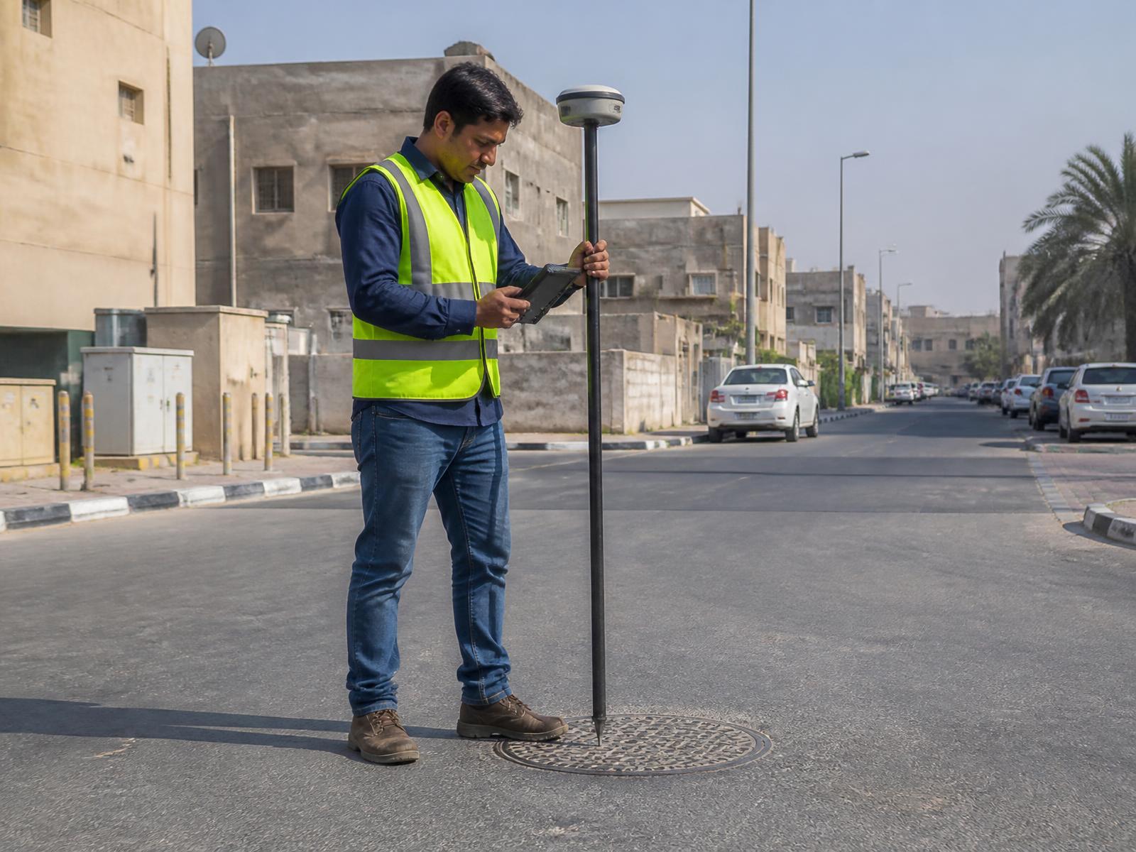
Infrastructure GIS & Mapping
Utility, asset and municipal mapping built on engineering-grade positions.
View application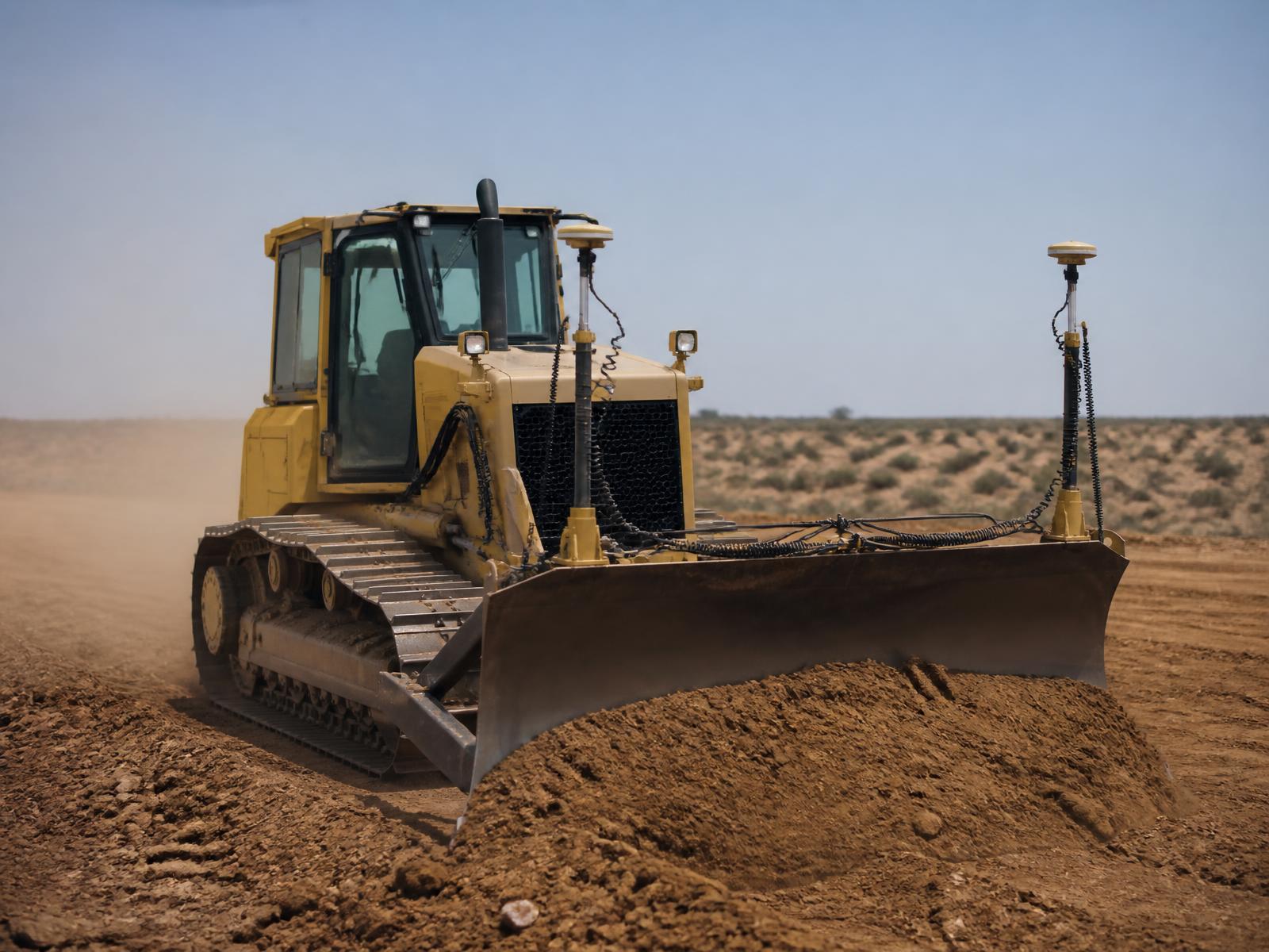
Machine Control
Network corrections for compatible machine-guidance systems.
View application