Applications
Setting Out
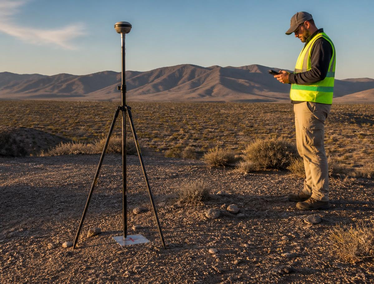
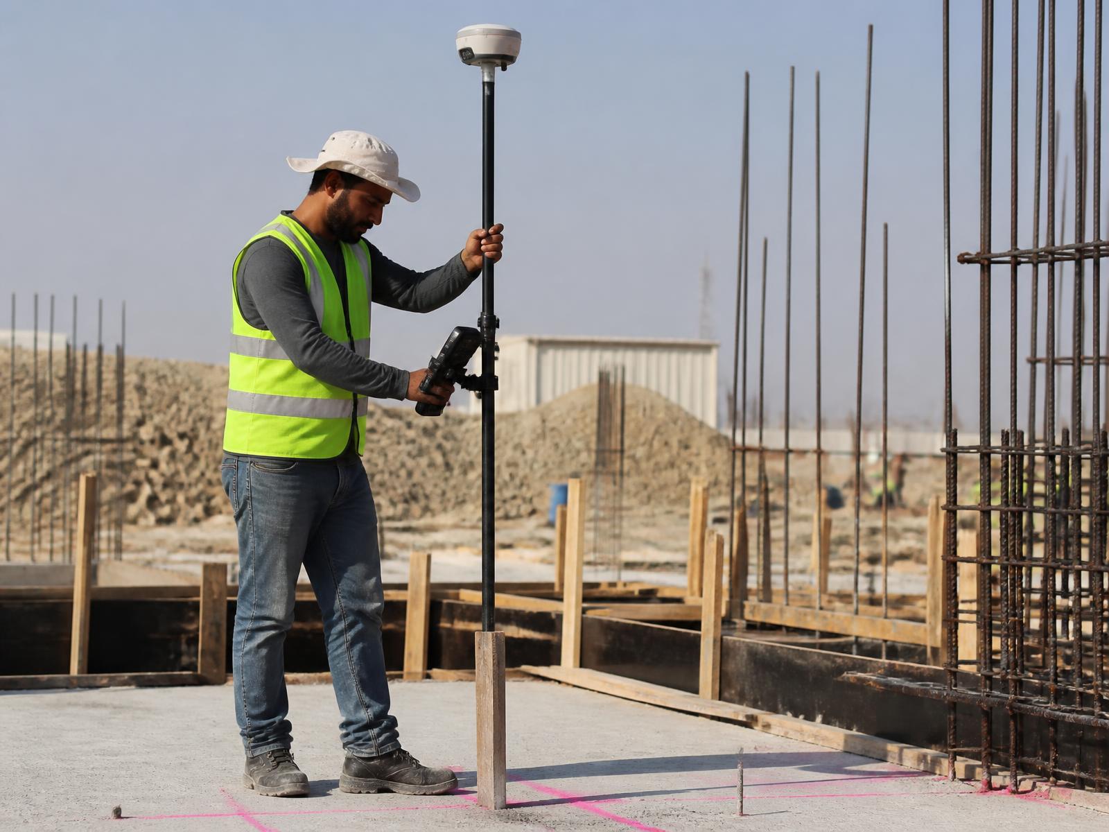
Transfer engineering designs from CAD into exact field positions.
Overview
Design coordinates are staked directly in the field with centimeter-level positioning, keeping structures, alignments and services aligned with the approved design.
Typical uses
- Building corners
- Foundations
- Columns and structural elements
- Road alignments
- Utility routes
- Site boundaries
- Construction control points