Applications
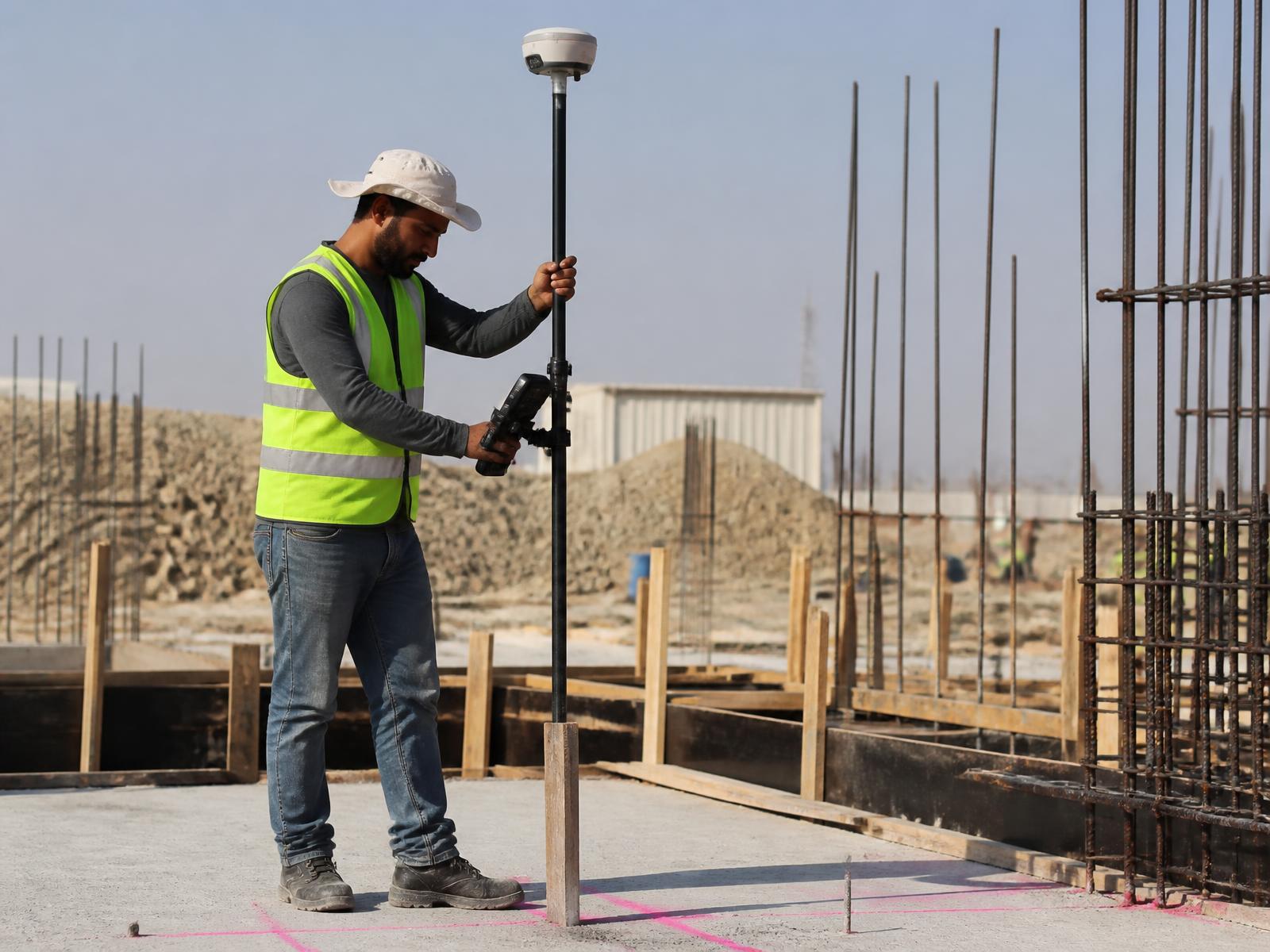
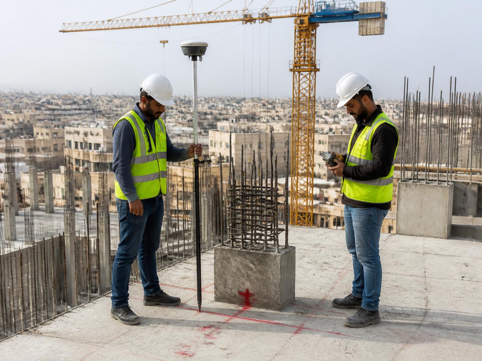
Construction Surveying
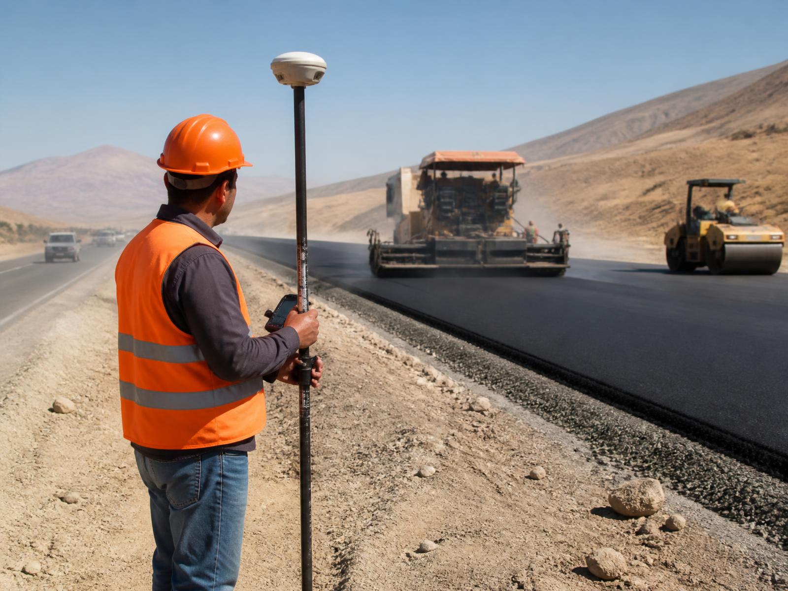
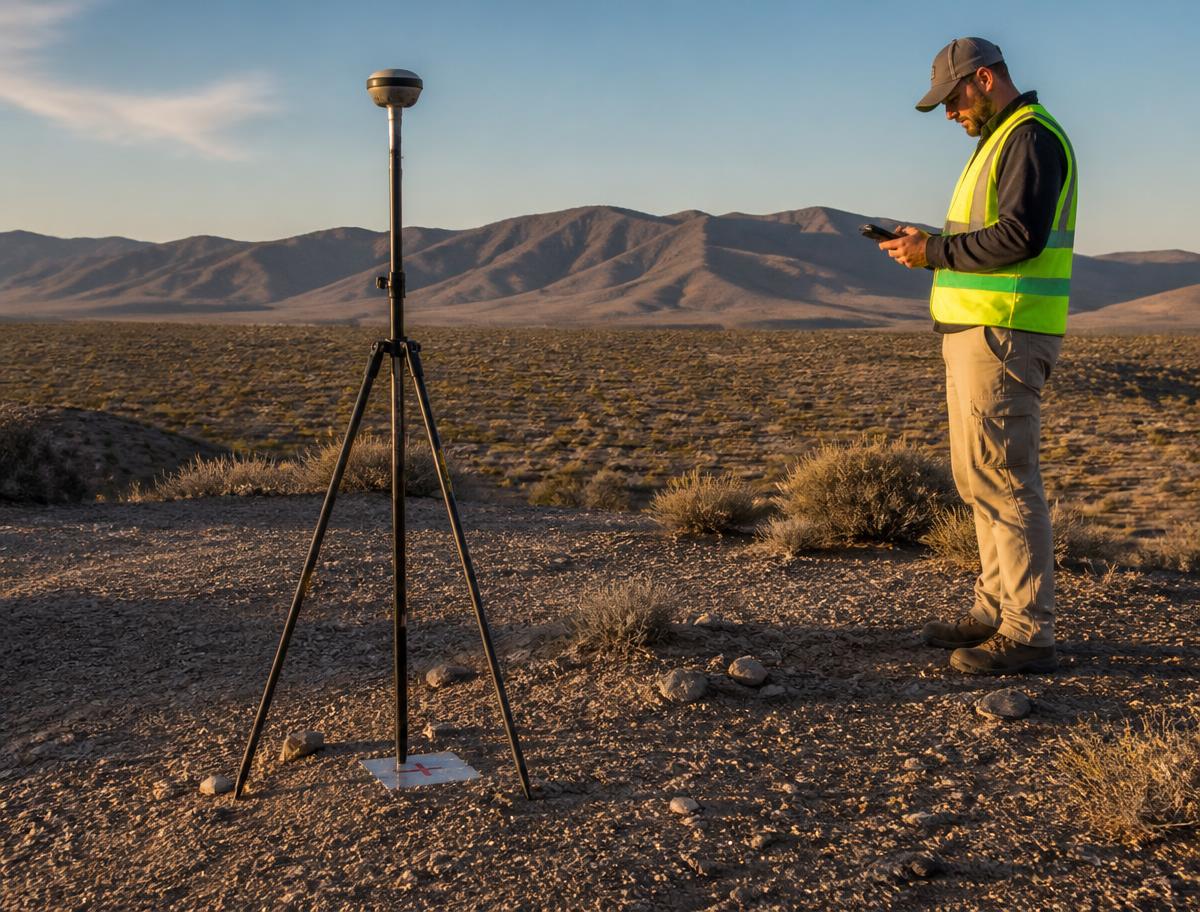
Professional GNSS positioning for site surveys, control and engineering measurement.
Overview
Network RTK corrections give survey crews consistent, project-wide coordinates from the first site visit onwards — without setting up and maintaining a local base station.
Typical uses
- Site surveys
- Construction control
- Coordinate establishment
- Topographic surveys
- Engineering measurements
- Progress surveys