Applications
Infrastructure GIS & Mapping
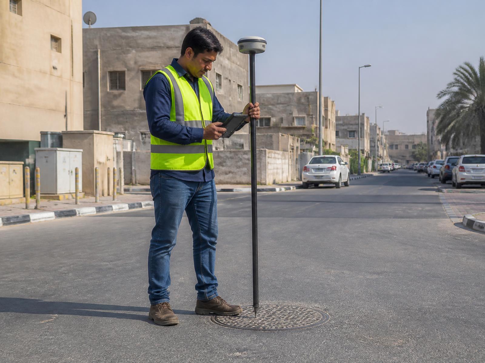
Utility, asset and municipal mapping built on engineering-grade positions.
Overview
Infrastructure databases are only as good as the coordinates behind them. RTK positioning provides the accuracy asset records require.
Typical uses
- Utility mapping
- Infrastructure asset mapping
- Municipal GIS
- Road assets
- Engineering databases
- Construction documentation
- Asset management