Applications
Roads & Highways
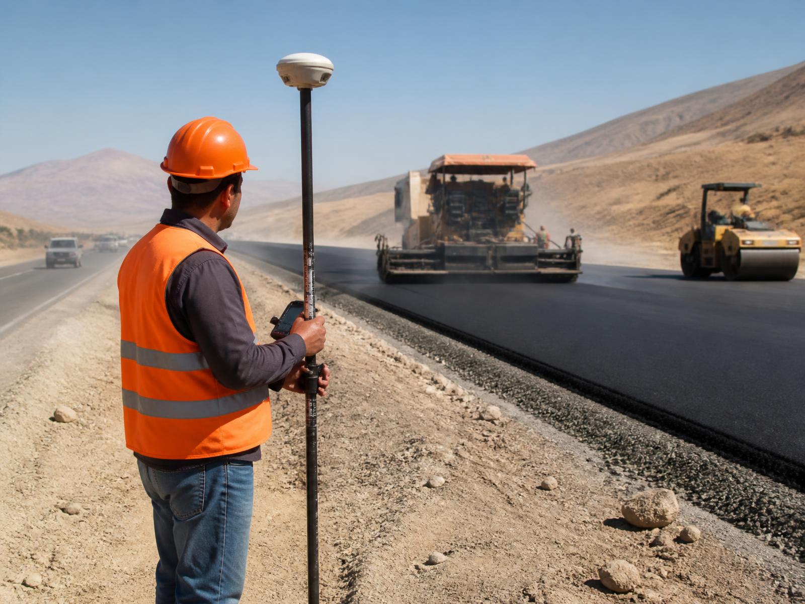
Alignment, levels, earthworks and verification along road corridors.
Overview
Road projects extend over long corridors where a network correction service keeps every crew on the same alignment and level reference.
Typical uses
- Road alignment and centerlines
- Earthworks and levels
- Curbs and drainage
- Intersections
- Road infrastructure
- Construction verification
- As-built surveys